
Landfills & Waste Sites
Airspace and compaction, measured every flight
Based in Dripping Springs · serving Central Texas
Airspace and compaction, measured every flight
Landfill operators and engineers use our maps to track remaining airspace, verify compaction, and document the site on a cadence — the volumetric picture a walk-and-measure can't keep current. One flight turns the site into an elevation surface and 3D scan, so airspace-remaining, cell volumes, and month-over-month change come back as numbers you can put in a report. A recurring scan replaces a once-a-year manual measurement with a running record, at a fraction of the cost.
What landfills & waste sites teams are up against
Deliverables built for the job
One flight, the full set — measurable to about a centimeter, all in a browser link, nothing to install.
- Elevation surface and 3D scan of the whole site, accurate to about a centimeter
- Airspace-remaining and cell volumes in cubic yards, against a prior surface
- Compaction and fill-rate tracking between flights
- Month-over-month change and documentation you can hand to regulators
- Measurable browser viewer for operations, engineering, and compliance — a link, nothing to install
- A recurring cadence that replaces the annual walk-and-measure with a running record
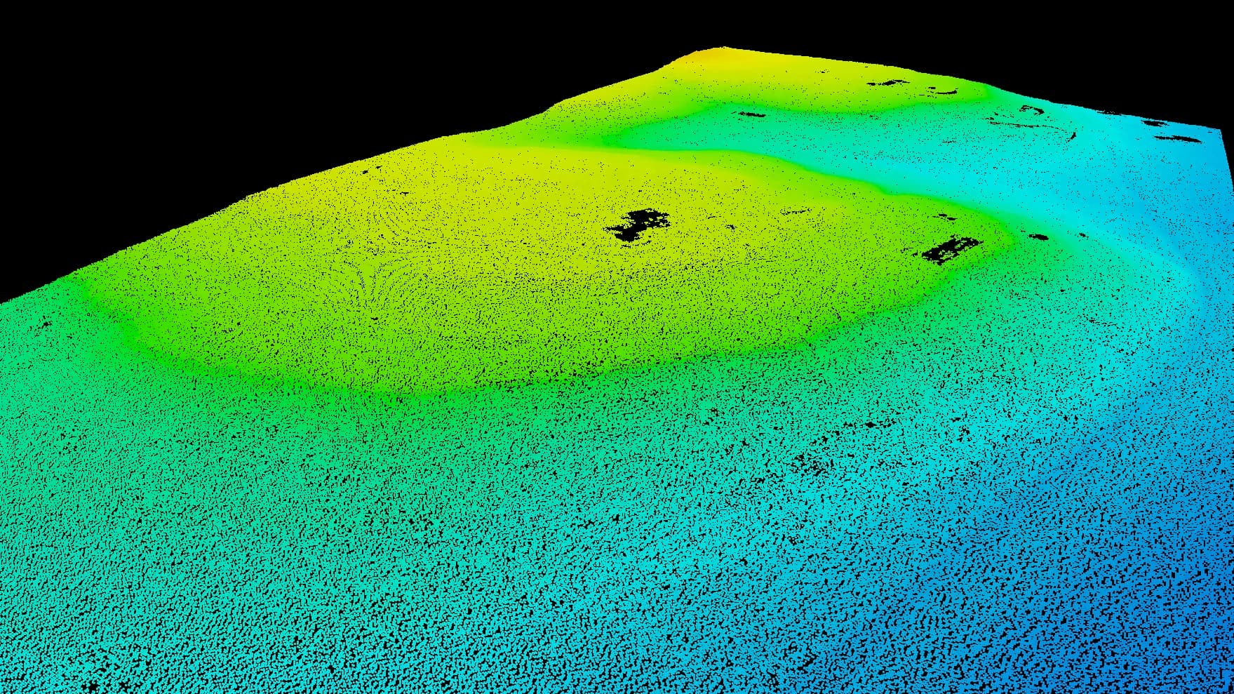
3D scan · elevation & volumes
The service lines behind it
Ready to map your landfills & waste sites property?
Tell us about your site and goals and we'll put together a custom proposal with exactly what you need — no cookie-cutter packages.
Based in Dripping Springs · serving Central Texas