
Land Development
We map the ground before you buy it or break it — terrain, slope, and drainage in a viewer your team can open
Based in Dripping Springs · Central Texas and beyond
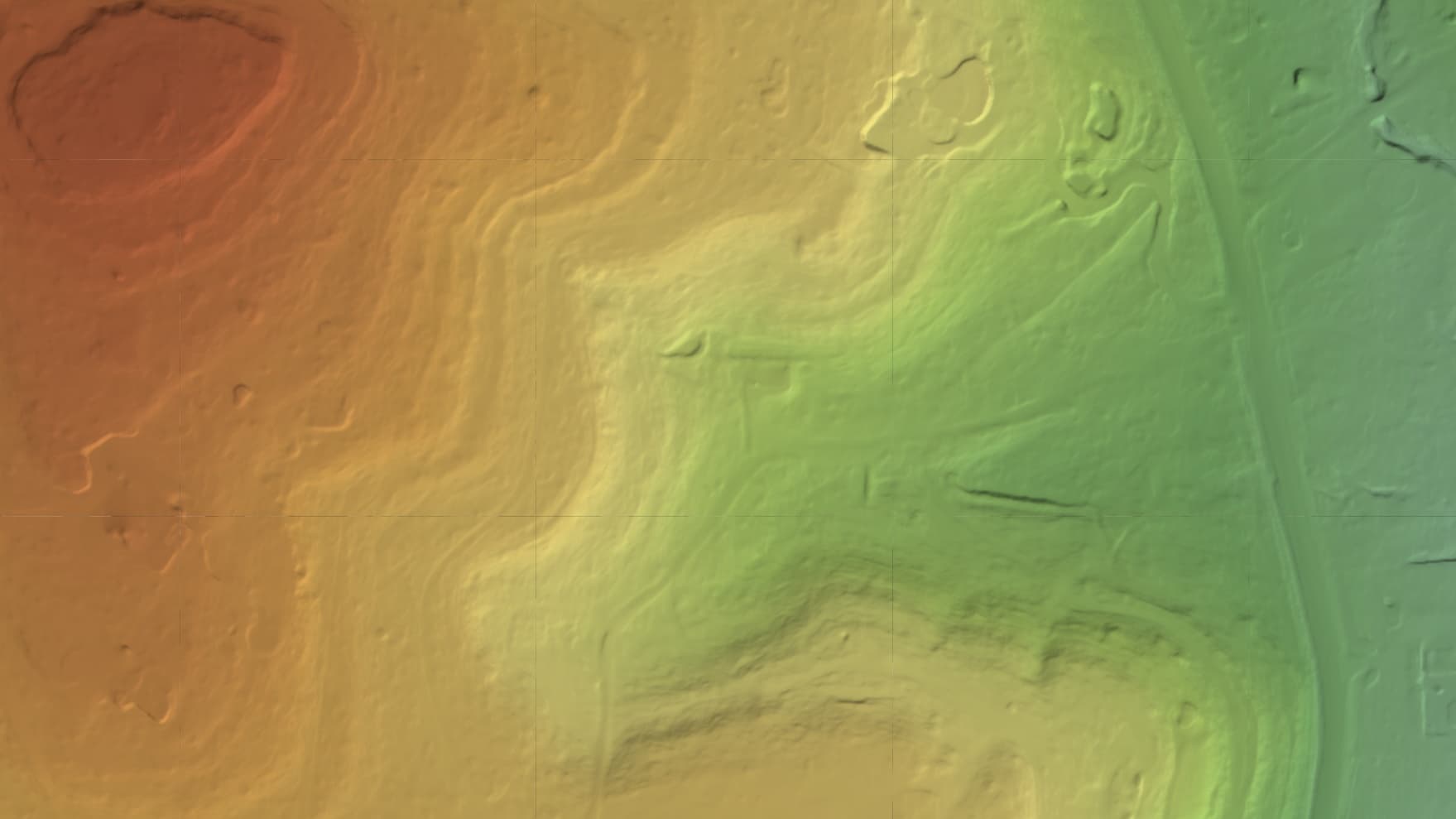
What we map for Land Development
Pressure-test a site before the pro forma is locked. Laser scanning sees the real ground under the cedar and oak, so slope, drainage, and buildable acreage are numbers, not surprises after closing.
What land development teams are up against
Deliverables built for the job
Measurable to 2–5 cm horizontally and 5–10 cm vertically, in one browser link.
- Interactive viewer to walk the site with your team and investors
- Bare-earth terrain with the tree cover stripped away
- Contour lines at 1–2 ft steps, in your browser viewer
- Elevation model for slope, drainage, and cut/fill planning
- Accurate acreage for your feasibility math
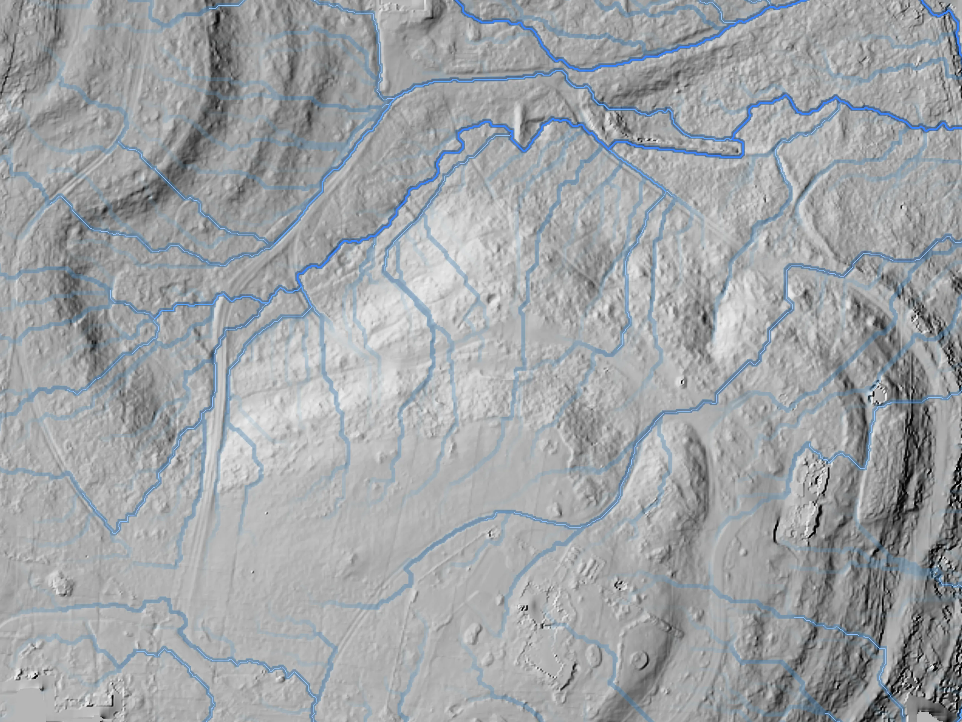
Drainage + flow · showcase ranch · LiDAR Jul 2026 · 0.5 m · modeled
Terrain & analysis layers
Built from your flight's elevation data on request — no second trip to the site.
Slope
Grade across the whole parcel at a glance, so the steep ground and the buildable ground stand apart.
Aspect
The direction each slope faces — for sun exposure, drainage, and how you orient lots and roads.
1–2 ft contours
Contour lines at 1–2 ft steps from the bare-earth terrain — the base for feasibility math and site design.
Drainage, flow, terrain, and floodplain layers are derived analysis computed from our elevation data to support planning and design. They are not a certified survey, a stamped engineering study, or a FEMA flood-zone determination.
The service lines behind it
Let's map your property
Tell us about your site and goals, and we'll send a custom proposal.
Based in Dripping Springs · Central Texas and beyond