
Construction
We map the jobsite on every flight, in a browser viewer your owners and crews can measure
Based in Dripping Springs · Central Texas and beyond
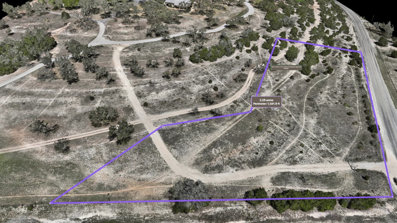
What we map for Construction
Document progress, settle earthwork with real volumes, and show owners the site without a truck roll.
What construction teams are up against
Deliverables built for the job
Measurable to 2–5 cm horizontally and 5–10 cm vertically, in one browser link.
- Private browser viewer for owners and crews — a link, nothing to install
- Aerial map on every flight, accurate to 2–5 cm horizontally and 5–10 cm vertically
- Cut/fill and stockpile volumes, measured in the viewer
- 3D model that drops straight into your design software
- Elevation map for grading and drainage checks
On paper, on request: a Property Key, route cards, or one handover PDF — or a Field Pack file for a phone with no signal.
A route on this page is a path recorded over this property from our own mapping — a line to walk or fly, and nothing more. It is not a road, an easement, or a right of way, and it is not a statement that the ground it crosses is maintained, legally accessible, or safe to travel on foot or by vehicle. Conditions on the ground govern: check them before relying on a route.
The service lines behind it
Let's map your property
Tell us about your site and goals, and we'll send a custom proposal.
Based in Dripping Springs · Central Texas and beyond