
All Industries
Industries · Central Texas
Energy & Utilities
The site and the assets, seen from the air
Based in Dripping Springs · serving Central Texas
What we map
The site and the assets, seen from the air
Solar, utility, and infrastructure teams use our maps for current as-builts, siting terrain, and a close look at the assets themselves — across sites that take a truck and a crew a day to walk. As our thermal imaging and always-on monitoring come online, that extends to panel-fault detection and change tracking between flights.
The problem
What energy & utilities teams are up against
Miles of infrastructure to inspect by truck and boots
No current as-built of the site or asset layout
Terrain and siting data that's slow and costly to collect
Vegetation creeping onto lines, pads, and easements
What you get
Deliverables built for the job
One flight, the full set — measurable to about a centimeter, all in a browser link, nothing to install.
- Site aerial map and 3D model, accurate to about a centimeter
- Asset-level detail you can measure and annotate
- Elevation and terrain data for siting and grading
- Classified 3D scan separating assets, ground, and vegetation
- Ground-level 360° walkthroughs documenting assets at eye height, pinned to the map
- Private viewer to share condition with crews and stakeholders
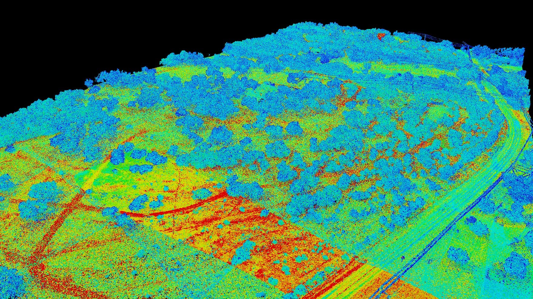
Classified 3D scan · assets vs. ground
Capabilities
The service lines behind it
Get started
Ready to map your energy & utilities property?
Tell us about your site and goals and we'll put together a custom proposal with exactly what you need — no cookie-cutter packages.
Based in Dripping Springs · serving Central Texas