
Drone Mapping Services in San Marcos, TX
Aerial maps and laser scanning for San Marcos and the I-35 corridor.
Based in Dripping Springs · serving San Marcos, Kyle, Buda, and Wimberley, TX
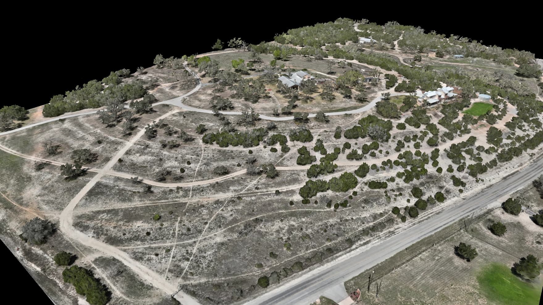
Drone Mapping Services for San Marcos, Texas
San Marcos sits where I-35 meets the Hill Country. We map the projects along the interstate and the sites near the San Marcos and Blanco rivers.
Why choose Embry Solutions in San Marcos
Drainage, flow, terrain, and floodplain layers are derived analysis computed from our elevation data to support planning and design. They are not a certified survey, a stamped engineering study, or a FEMA flood-zone determination.
Drone mapping services available in San Marcos
Every service comes with interactive viewers you open in any browser, plus the full set of maps and models. Positions are accurate to 2–5 cm horizontally and 5–10 cm vertically.
Aerial Mapping
Crisp aerial maps and 3D models of your land, accurate to 2–5 cm horizontally and 5–10 cm vertically.
Laser Scanning
Sees through tree cover and brush to map the bare ground hiding underneath.
Heat Mapping (Coming Soon)
A heat map of where a roof or solar array read warmer or cooler than its surroundings. It shows the spots worth checking on the ground, never a diagnosis.
Local expertise in San Marcos
River corridors and limestone karst call for careful mapping before a shovel hits the ground. We work with developers, engineers, and contractors across San Marcos, Kyle, Buda, and Wimberley.
Also Serving
Map your San Marcos project
Tell us about your site and goals. We'll put together a proposal with exactly what you need.
Based in Dripping Springs · serving San Marcos, Kyle, Buda, and Wimberley, TX