
Drone Mapping Services in Austin, TX
Sharp aerial maps, 3D models, and elevation data for the capital city.
Based in Dripping Springs · serving Austin, TX and surrounding metro area
Centimeter-Grade Drone Mapping for Austin, Texas
We map properties across the Austin metro, from downtown to new neighborhoods in Round Rock, Cedar Park, and Pflugerville. Our maps land within 2–5 cm horizontally and 5–10 cm vertically.
Why choose Embry Solutions in Austin
Drone mapping services available in Austin
Every service comes with interactive viewers you open in any browser, plus the full set of maps and models. Positions are accurate to 2–5 cm horizontally and 5–10 cm vertically.
Aerial Mapping
Crisp aerial maps and 3D models of your land, accurate to 2–5 cm horizontally and 5–10 cm vertically.
Laser Scanning
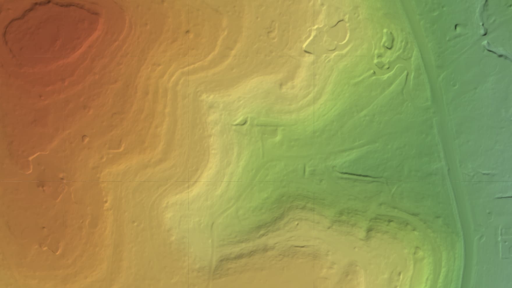
Sees through tree cover and brush to map the bare ground hiding underneath.
Heat Mapping (Coming Soon)
A heat map of where a roof or solar array read warmer or cooler than its surroundings. It shows the spots worth checking on the ground, never a diagnosis.
Local expertise in Austin
Whether it's a mixed-use project on East Riverside, earthwork in Leander, or a listing in Westlake Hills, we map it.
Map your Austin project
Tell us about your site and goals. We'll put together a proposal with exactly what you need.
Based in Dripping Springs · serving Austin, TX and surrounding metro area